 In 2018,Current Projects
LUMEJI
Village Name LUMEJI
Sub Village MWABASABI
District MAGU
Distance to paved road: 13 KM.
Village Central area GPS 36M 0557286N 9708006E ELEVATION: 1197M
Description of access road: GOOD
Village Population 3260
#of Households 581
# Widows 8
# Orphans 20
How big in area is the village and where are people centrally located? THE VILLAGE IS BIG AND IT HAS
GOT THREE (3) SUB-VILLAGES WHICH ARE i) BUGANDO ii) LUMEJI iii) MWABASABI
How are people earning money? AGRICULTURE
Village Chairman Phone ENOSI YOHANA # 0754 765818
Other Village Leader KOLETHA LUHAHURA Phone #0765 349513
Water Committee Chairman MAKUNGU MASALA Phone # ——
Tribal Groups SUKUMA 90(%) JITA 9(%) KULIA 1(%)
List of Schools in the Village:
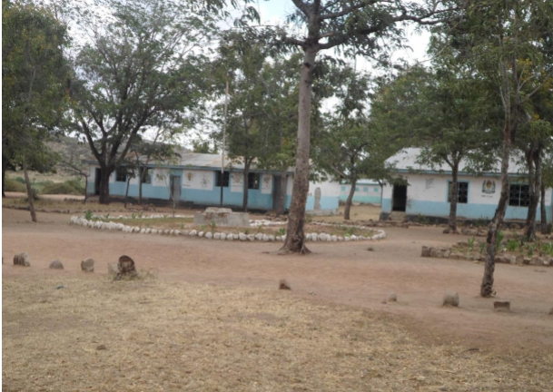
School Name LUMEJI PRIMARY SCHOOL
# students 460
Level PRIMARY
Locations GPS 36M 05578240N 9708727E ELV: 1170M
Water source Type NONE Distance 0M
School Name SUKUMA SECONADRY SCHOOL
# students 590
Level SECONDARY
Locations GPS 36M 0558146N 9708580E
Water source Type NONE Distance —
Dispensary Name / Sponsor: LUMEJI DISPENSARY
#people treated per day IT DEPENDS: 30-60
GPS: 36M 0557376N 9708337E
ELEVATION: —–
Church Info:
ANTHONY BOASI
36M 0557219N
9708022E
1188M